Our final morning in Tuscon was another damp one and after a breakfast of conches and coffee, we headed into Tuscon to stock up on provisions. Jocelyn is something of a food Co-Op connoisseur so our grocery store of choice this time was Food Conspiracy Co-Op in downtown Tuscon.

After loading up on fresh veggies, hummus, kombucha, chocolate covered almonds , and many other goodies, we headed for a hike at Sabino Canyon near Tuscon, which came with multiple recommendations. We arrived to a bustling scene, especially for a Monday morning. All kinds of folks from young families to retirees all out hitting the trail. We had a nice walk up the canyon, past Sabino dam, and to the free flowing creek running cool and clear. Flowing water here in the desert is quite special, which probably explains all the people here. We splashed some water on our faces, and sat down in the shade for a snack before heading back and getting on the road.
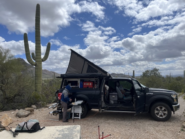
We drove South to a bit of BLM land we had identified as a possible camp site near Dos Cabezas Wilderness and the Chiricahua National Monument. There were some other folks in RVs and trailers camped along the road, but as usual, they got sparser as the road got rougher. Before parking for the night, we decided to hike toward the Wilderness boundary. We drove as far as we wanted to before the road turned rocky enough that it was both faster and less stressful to walk. The road/trail paralleled some private property for bit with a ranch house in the distance up against the pillowy rocks. The mountains in the distance were dusted with snow. We came across a small herd of what appeared to be semi feral cattle. They were horned, small, and all different ages with a couple of juvenile bulls among them. We found a fruiting Cholla cactus and we gave the fruit a taste test having learned that all cactus fruit is edible, if not always tasty. It was actually not bad. A mild flavor with small, slightly bitter seeds, kind of like a dry kiwi. The temperature dropped quickly once the sun started going down as we headed back. We popped up the camper and turned on the heater, dining on some pre-made deli items from the co-op and a giant cup of pineapple for desert that we’d picked up at a gas station.

We woke up to frigid temperatures down in the 30s. The kind of temperatures that make it hard to get out from under the blankets as you watch your breath float above your face. We usually cook outside, but we knew it was going to be cold so we’d made sure we had everything inside with us for breakfast. We fired up the heater and used the Jet Boil to heat water for coffee and tea. We had a French inspired breakfast of brie, crackers, oranges and the last of our conche from Tuscon. One good thing about such a small space is that it’s easy to heat. We were toasty warm in no time and breakfast was delicious. A great way to start the day.
Our first stop of the day was Fort Bowie National Historic Site, which was a few miles up the road from our camp site. It was a mile and a half walk up to the ruins of the site through beautiful mountain meadows and oak savanna. Along the way were signs and markers about he history of the area. As this history deals the history of U.S. expansion, settlement, and the displacement of the native people who lived here, it was mostly quite sad. The fort had been built to secure the nearby mountain pass and spring for use by settlers and the military, to the exclusion of the Apache people who lived there. Stories of hostage taking and massacres, subjugation and escape, counter-insurgency campaigns as soldiers from the fort pursued Geronimo and his small band in “seek and destroy” missions for over 10 years before finally wearing them down and banishing them to Florida. About a half mile before the fort, the trail comes to Apache Spring; the source of life-giving water over which so much blood had been spilled. A source of life and of conflict in this parched landscape. Touching the water there, one can feel a sense of connection to all the people who had come to this same place for thousands of years before, depending on it for life and sustenance. After the spring we explored the ruins of the fort for a bit and headed back, spotting a small herd of Whitetail as we did.


Next we headed down the road to the Chiricahua National Monument. The hike we chose here was the Echo Canyon Loop. The hike started at 6800 feet and there was still quite a bit of snow around. It descends from top of the mountain down into a canyon, surrounded by huge rock pillars, some with standing stones on top that seem to defy gravity. Some with bright green lichen on the sides that make them look almost painted. As the trail descends, groves of Oak and Cypress grow among the pillars along with some big Ponderosa Pines. As we approached the bottom of the canyon we found a running stream and that’s also about the time it started to snow. First a few big, wet flakes and then a full on flurry. A few minutes later we rounded a corner, stopped for a snack, and then sun came back out. In a bit of irony, the return trail was called “Hailstone Canyon Trail” and sure enough a few minutes later it did actually start hailing on us.


It was a great way to spend the afternoon before we got back in the truck for a few more hours of driving to Las Cruces, New Mexico where we stayed the night.